The Rigole de la Plaine channel
The Canal du Midi is a hydraulic masterpiece. The system designed by Pierre-Paul Riquet is centred around a network of streams and rivers that supply water to the Canal du Midi.
Pont-Crouzet : water inlet at the Sor to supply water to the Canal du Midi
The Rigole de la Plaine channel begins at Pont-Crouzet at the entrance to Sor valley, on the outskirts of the Montagne Noire region, in the town of Sorèze near Revel.
The Rigole de la Plaine is 38 km long. This is the only source for the Canal du Midi between Carcassonne and Toulouse, which represents a 105 km route and almost 3 million cubic metres of water.
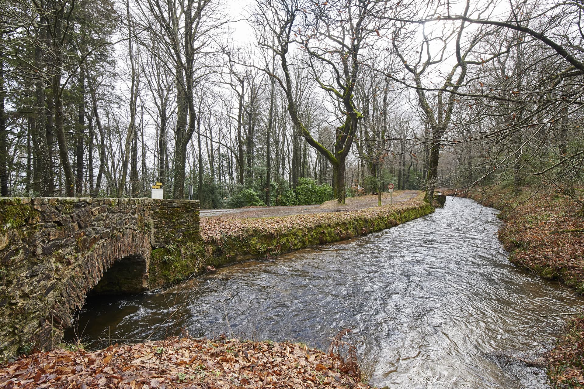
There are many bridges dotted along the 38 km route, providing access to either side of the channel. Initially, the channel was shallow enough for fording or small wooden bridges, but these crossings are no longer there today. Stone bridges were built instead, for much sturdier crossings. There are 59 altogether!
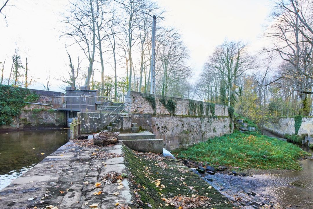
Laudot spillway, a structure to regulate the waters
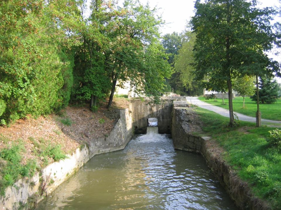
Les Thomasses is a strategic location for the Canal du Midi water supply. This is where the Rigole de la Plaine, which has flowed from Pont-Crouzet via the town of Revel, meets the Laudot river coming from Saint-Ferréol lake.
The Canal du Midi's needs in terms of water resources fluctuated. It was therefore important to regulate the water supply! The structure that allows this to happen is Laudot spillway.
This spillway is located at the confluence of the Rigole de la Plaine and the Laudot river, and its purpose is to supply the channel with waters from Saint-Ferréol lake, and then release any excess waters not required by the canal into the lower Laudot river.
The Laudot spillway is also used to block the course of the channel and prevent the waters from overflowing when levels in the Laudot and Sor are high.
Laudot spillway and the guard house are both original and interesting structures, designed in a typical 18th century style. The date 1761 is engraved into stone on the right-hand side of the house.
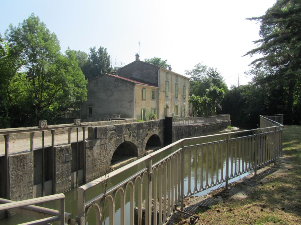
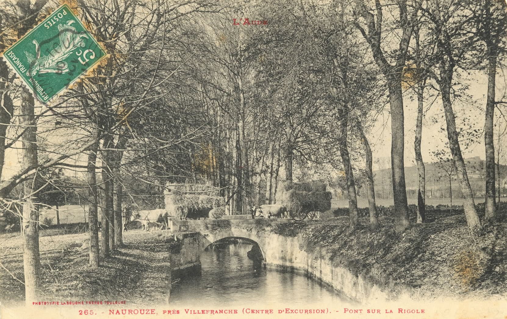
After Laudot spillway, the channel winds its way along the cuesta formed by the hills of Saint Felix Lauragais, Les Cassés and Saint Paulet and then heads towards Naurouze. The old bridge of Cailhavel (or Saint Jean bridge), very scarcely used, is a typical example of the 17th century bridges built by Riquet (size of the stones, the archway set on the flat bases of the abutments) to restore the access that had been removed due to the construction work.
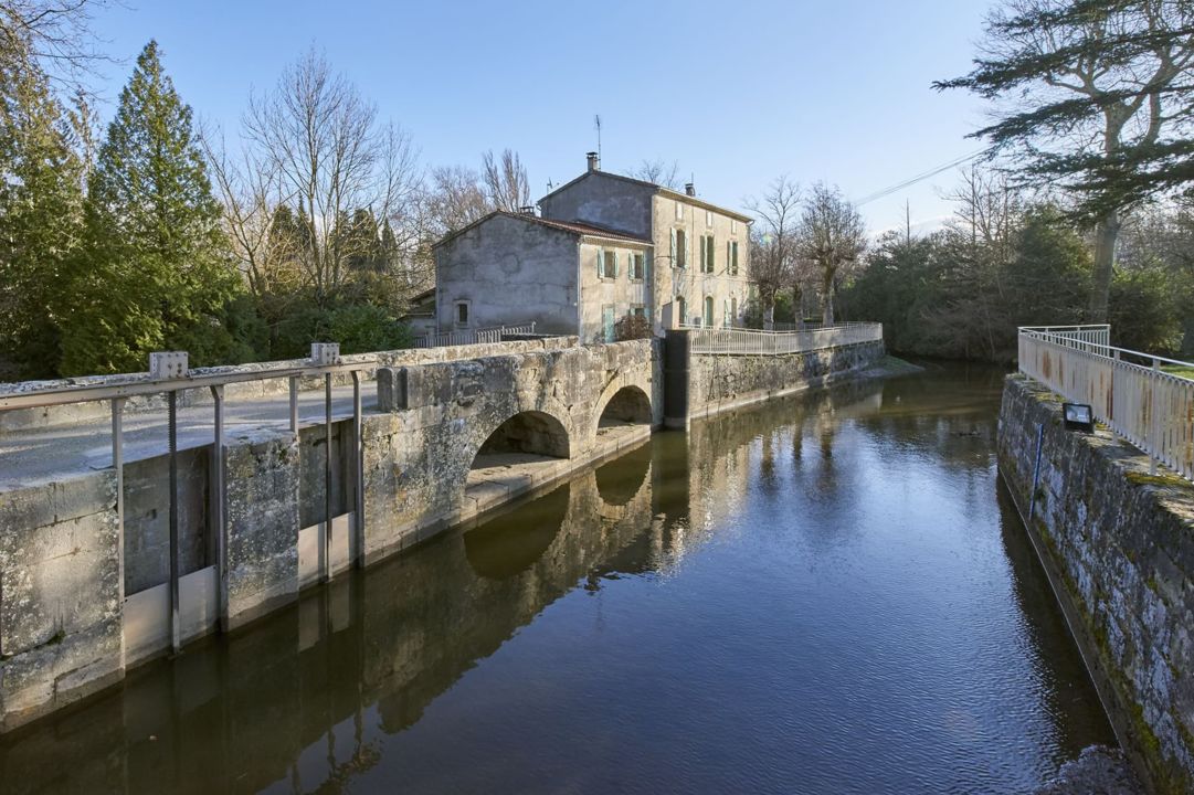
There are small structures dotted along the Rigole de la Montagne and Rigole de la Plaine channels which made it easier for locals to access the water, such as wash houses and troughs.
It is forbidden to take water directly from the channel, but some domestic uses are tolerated as long as certain regulations are respected. The troughs and wash houses are often next to bridge abutments (as is the case at Saint Paulet bridge for example).