The Seuil de Naurouze in Montferrand
The Seuil de Naurouze is the strategic point of the Canal du Midi that separates the Atlantic and Mediterranean basins. Pierre-Paul Riquet invented an ingenious hydraulic system to supply water to this location, the highest point of the canal. Before him, any other plans to build a canal between Toulouse and the Mediterranean had failed because nobody came up with a solution to bring enough water to the Col de Naurouze.
This place is key for the Canal du Midi, from a historic, technical and archictural point of view.
History recounts that it was right here that Pierre-Paul Riquet discovered his solution to supply the canal with water. It was in seeing the water flowing from a spring known as 'La Fontaine de la Grave', that the creator of the Canal du Midi realised that at this specific location, the water spurting from the fountain separated and flowed in two opposite directions: towards the Atlantic Ocean on one side and towards the Mediterranean on the other.
Taking into account this observation, Riquet understood that by bringing enough water to supply an upper channel, the water would then flow down in both opposite directions, towards the two seas.
The highest point of the Canal du Midi
Is this true? Is it still Riquet's system that allows the waters from the Montagne Noire to flow to Naurouze along the two channels, the Rigole de la Montagne and the Rigole de la Plaine?
In Naurouze, the water flows into the summit-pound, 189.43 m above sea level. This is the highest point of the Canal du Midi!
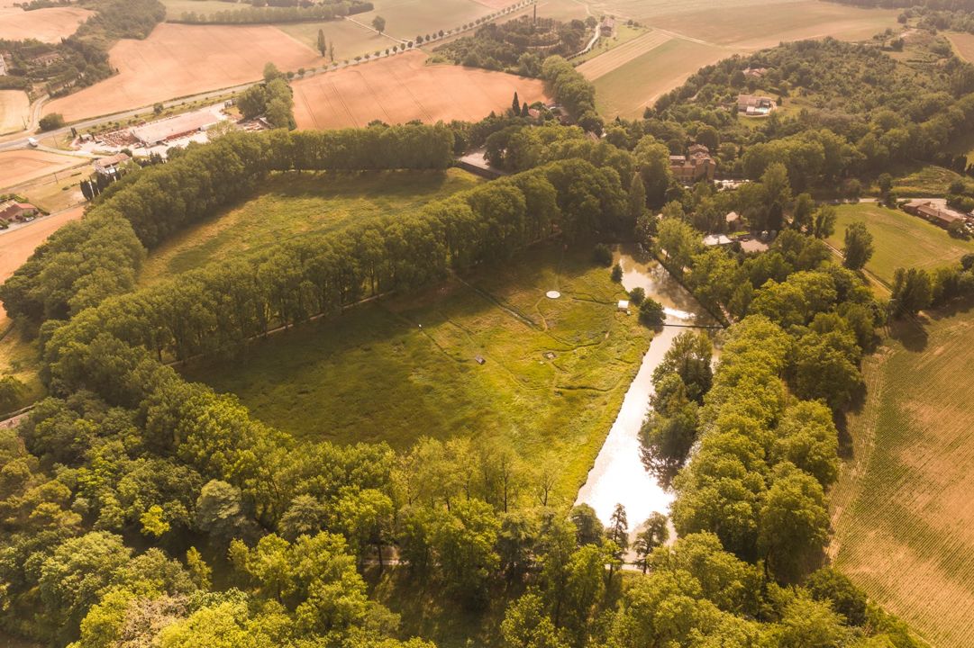
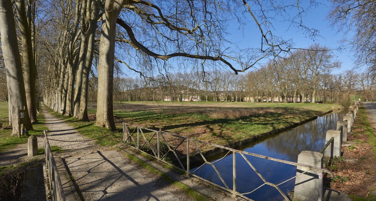
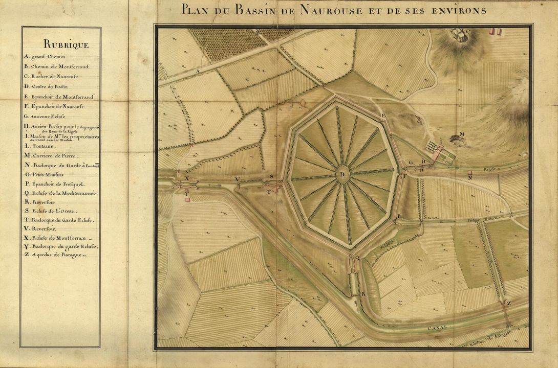
The Naurouze basin
At the Seuil de Naurouze, Riquet wanted to turn his creation into a memorial site, in tribute to the King of France, Louis XIV.
Between 1669 and 1673, a vast eight-hectare lake was built. Cartographer Jean-Baptiste Nolin wrote in 1697: "This 400-m-long and 300-m-wide lake, built from cut-stone, is without a doubt the most beautiful in the world, with 3 metres of water brought by the channel".
It was designed as a retention basin and Riquet put forward a large-scale plan, to build a town around the basin, with a monumental fountain at the centre, portraying Louis XIV in a chariot pulled along by seahorses.

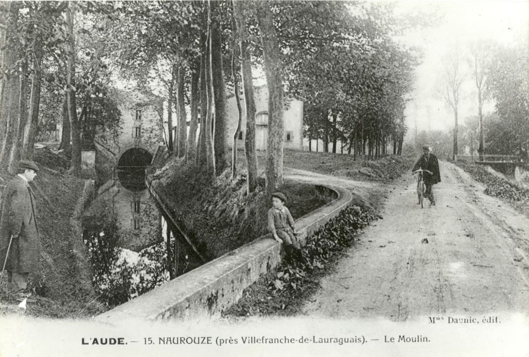
Naurouze mill and flour mill
This site did not become the memorial site that Riquet had imagined. However, Naurouze did become a major production site thanks to the mill built in 1670-1672. On the far downstream end of the Rigole de la Plaine, the mill made use of the waters as a source of energy. The mill was a part of Canal du Midi property. It was transformed into a flour mill in 1832 and remained in use until 1985.
Near the basin and summit-pound, there was a spillway and a house, known as the engineer's house. It was in this huge building that the war between France and Spain, under Napoleon I, came to an end. It was right there in that house that Marshal Soult, commander of the Imperial army, and the Duke of Wellington, signed an armistice in April 1814.
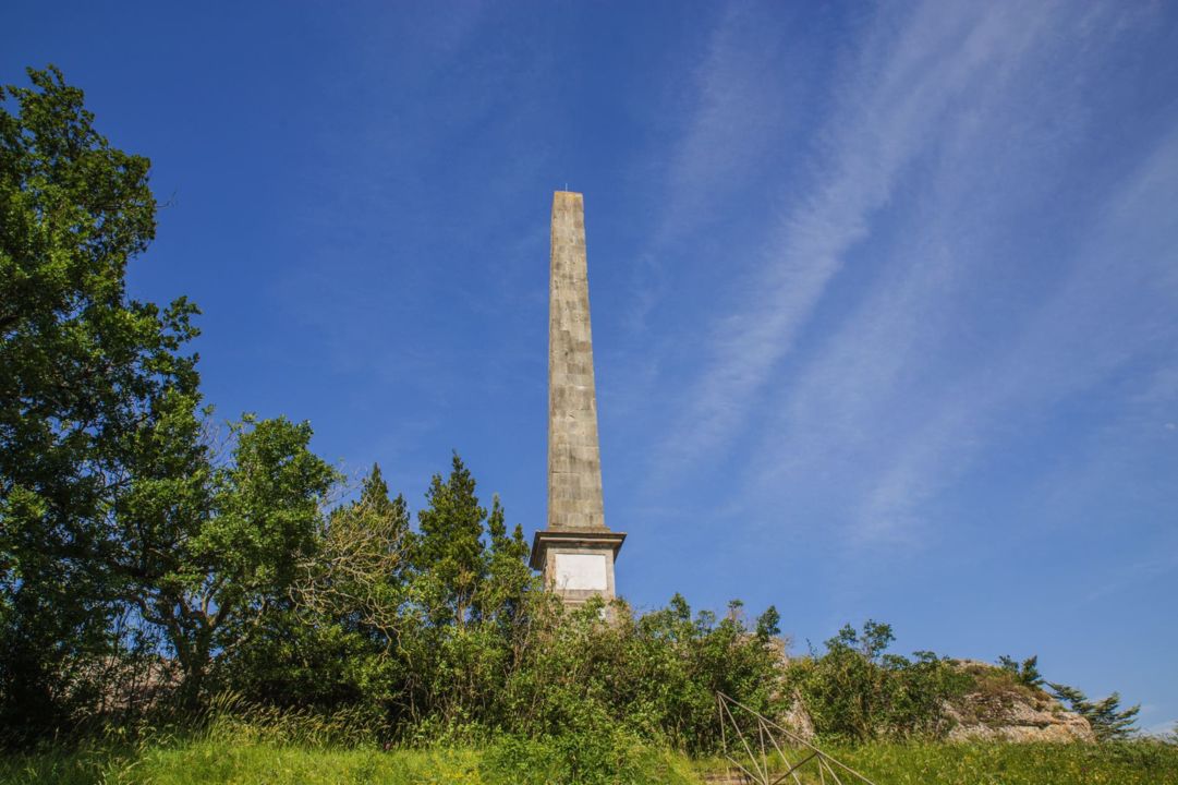
The obelisk in memory of Riquet and his creation
Riquet's heirs wanted to pay tribute to him. Therefore, between 1825 and 1827, a 20-metre-high obelisk was built on the 'Naurouze stones'. These stones have been the source of legends since the dawn of time!
There is a tribute to Riquet on the obelisk, that reads "A Pierre-Paul Riquet, baron de Bonrepos, auteur du canal des Deux Mers en Languedoc " (To Pierre-Paul Riquet, Baron de Bonrepos, creator of the Canal des Deux Mers in Languedoc).
The pedestal features engravings and allegorical bas-reliefs. On the north side, there is a portrayal of the arms and medallion of Pierre-Paul Riquet, held by Minerva, Roman goddess of wisdom, and Mercury, god of commerce.
On the south side, there's a nymph, symbolising the Montagne Noire, pouring water into an urn, supplying the Rigole de la Plaine. This water then separates into two, symbolising the watershed point of the Canal du Midi, with the god Neptune watching over the Atlantic basin, and goddess Venus watching over the Mediterranean basin.
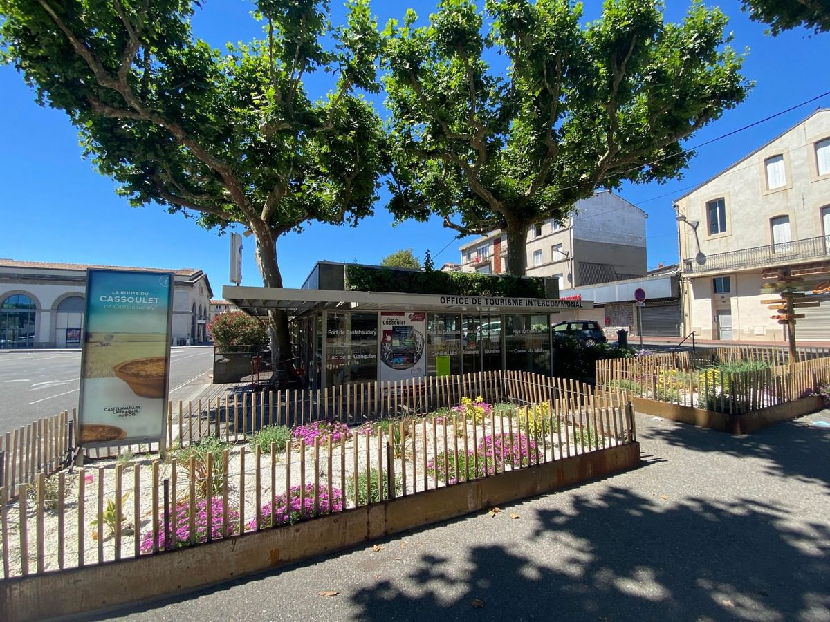
Contact
and information
OFFICE DE TOURISME DE CASTELNAUDARY LAURAGAIS AUDOIS Place de la République
BP 1161
11400 CASTELNAUDARY
Tél : +33 4 68 23 05 73